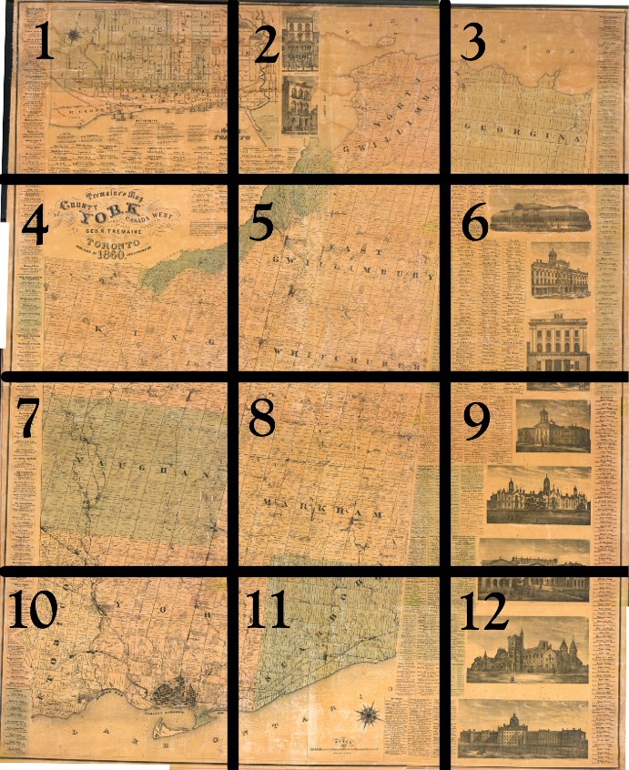
Small black squares indicate buildings such as residences, inns, schools, churches, and factories. Illustrations of major buildings border the right-side of the map. There is also a list of the names, professions and residences of subscribers to the map (Yes, the names are legible!).
An inset map of Toronto appears in section 1 below.
My genealogist friends seem to reference this map a lot, so I thought I had better include it [Can anyone point me to an online index of the names on the map? That would be a useful accompaniment I think].
Click on the image to view a full-size version of the [approximately] corresponding numbered area.

Tremaine’s Map of the County of York Canada West, Compiled and Drawn by Geo. R. Tremaine from Actual Surveys Toronto Published by Geo. C. Tremaine 1860
Images courtesy University of Toronto Map and Data Library: G3523 .Y6 1860 a. (See also: LAC). Winearls, MUC no. 404
[Thanks to Robannz for attempting to stitch it all together -- we tried making a monster file of all 12 sections, but it was too unwieldy to deal with.]
An advertisement for the Tremaines, appearing in the 1862 edition of The Canadian Almanac, W.C. Chewett & Co. I’m kind of curious to see what Tackabury’s map looked like, aren’t you?
Please ‘Like’ and Share these maps with other Toronto history enthusiasts! (+1s are also welcome!)

